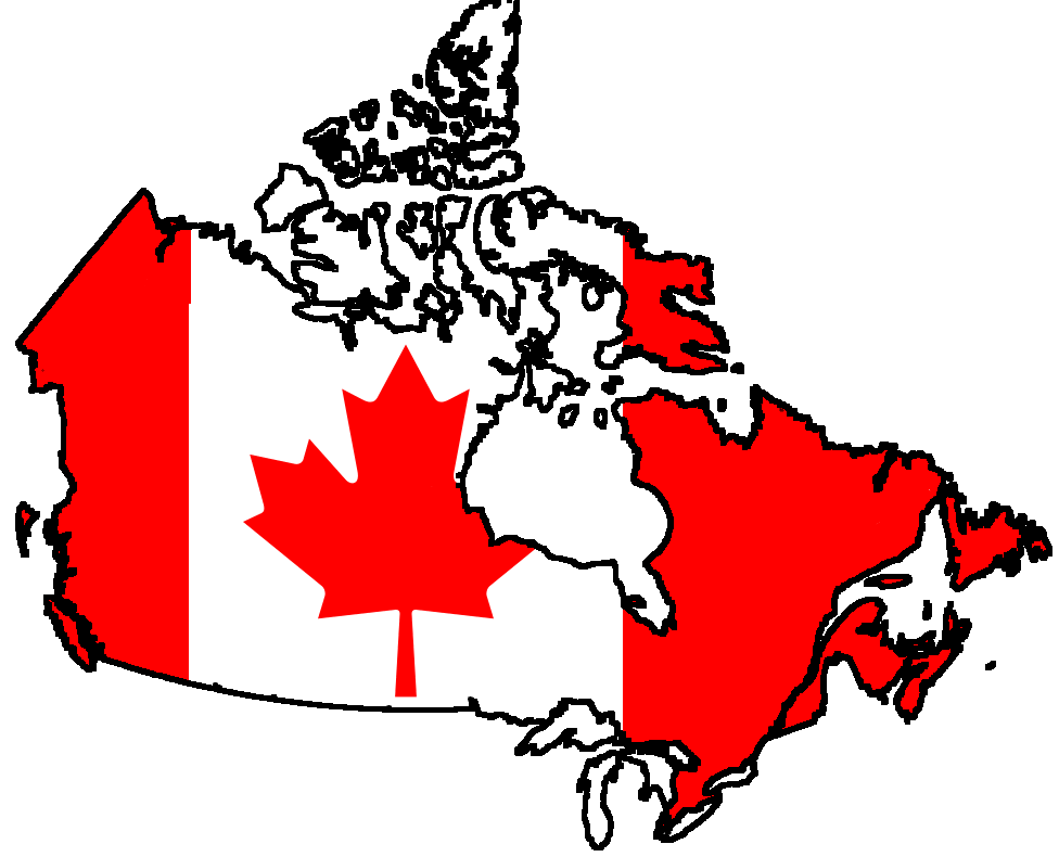
Canada -- School-age
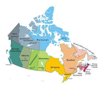
Atlantic Provinces
4 Atlantic Provinces (smallest provinces in Canada)
New Brunswick
New Brunswick borders on Nova Scotia, Quebec and the U.S. state of Maine. 85 percent of New Brunswick's land mass is forest.
Sites to See
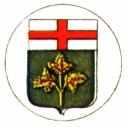
New Brunswick official symbols
Nova Scotia
Nova Scotia's 580-km-long peninsula is surrounded by four bodies of water - the Atlantic Ocean, the Bay of Fundy, the Northumberland Strait and the Gulf of St. Lawrence.
Sites to See

Prince Edward Island
Prince Edward Island is Canada's smallest province.
Sites to See
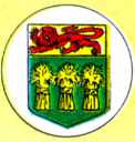
Prince Edward Island official symbols
Crayola® Canadian Province - Prince Edward Island color page
Prince Edward Island worksheets and color pages
Anne
of Green Gables by Lucy Maud Montgomery
Anne of Green Gables by L. M. Montgomery (read online)
![]()
Newfoundland
Newfoundland is Canada's most easterly province.
Sites to See
Crayola® Canadian Province - Newfoundland and Labrador color page
Central Provinces
Central Canada consist of two provinces that are Canada's two largest and most populous provinces Quebec and Ontario.
Quebec
Capital City: Quebec City
Quebec is the largest of Canada's provinces.
Origin of Name: Derives from the Algonkin word for 'where the river narrows'.
Quebec was originally inhabited by members of the Algonquin and Iroquois tribes. The northern part of the province is today still inhabited by the Inuit. The European history of Quebec began with the arrival of French explorer Jacques Cartier in 1534.
Quebec City was founded in 1608 by Samuel de Champlain (founder of New France). Quebec is the oldest French city on the American continent and the only fortified one in North America.
Quebec City was founded in 1608 by Samuel de Champlain (founder of New France). Quebec is the oldest French city on the American continent and the only fortified one in North America.
Montreal is Canada's second largest city and the largest French-speaking city in the world after Paris.
Ontario
The name "Ontario" comes from the Iroquois word "Kanadario" meaning "sparkling water." Ontario bordered on the south by the Great Lakes and on the north by Hudson Bay, one sixth of its terrain, is covered by rivers and lakes.
Prairie Provinces
3 Prairie Provinces (most of the land is flat)
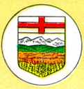
Alberta
Alberta is the westernmost of Canada's three Prairie provinces.
Sites to See
Manitoba
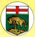
Manitoba is one of the three Prairie provinces and is located in the center of Canada.
Sites to See
Crayola® Canadian Province - Manitoba color page
Manitoba worksheets and color pages
Manitoba Great Gray Owl color page
Saskatchewan
Half of Saskatchewan consists of forests, one-third of cultivated lands, and one-eighth is covered with water.
Sites to See
Western Canada
British Columbia (B.C)
Capital City: Victoria
British Columbia is Canada's westernmost province and one of North America's most mountainous regions. It is a gateway to the Pacific and Asia.
Spain and Russia were the first countries to claim ownership of certain parts of British Columbia. In the 18th century, the Spanish claimed the west coast from Mexico to Vancouver Island and the Russians were made a claim for control of the Pacific coast from Alaska to San Francisco.
In 1778, Captain James Cook of Great Britain became the first person to chart the region. The first permanent colony, in present-day Victoria, was Fort Victoria completed by the British in 1843.
When gold was discovered in the lower Fraser Valley in 1857, to help maintain law and order, the British government established the colony of British Columbia the following year. British Columbia became a province of Canada in 1871.
Northern Canada
![]()
Northwest Territories
Capital City: Yellowknife
Martin Frobisher of England made the first of three attempts to find a Northwest Passage over the top of North America. In 1610, Henry Hudson landed briefly on the western shore of the bay that today bears his name. Rupert's Land Act of 1868, the lands of the Hudson's Bay Company were purchased and admitted the into the Dominion of Canada. A decade later, the Arctic islands claimed by Britain were acquired by Canada.
Northwest Territories can be divided into two broad geographical regions the taiga, a boreal forest belt that circles the subarctic zone; and the tundra, a rocky Arctic region where the cold climate has stunted vegetation.
![]()
Territory of Nunavut
Nunavut's lands are made up of the central and eastern portions of the Northwest Territories
Sites to See
Yukon Territory
![]()
The Yukon has a subarctic climate.
Sites to See


