Canada -- School-age
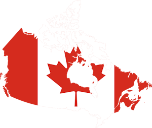
Canada
Things to Know
The name Canada is from the Saint-Lawrence Huron-Iroquois word kanata, which means village.
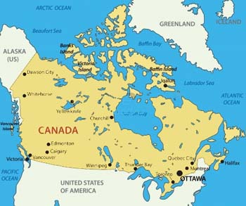
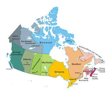
Capital: Ottawa, Ontario
Major Languages: English and French (both official)
Regions: 10 provinces and 3 territories
![]() Canada's national animal is the beaver. Official symbols of Canada
Canada's national animal is the beaver. Official symbols of Canada
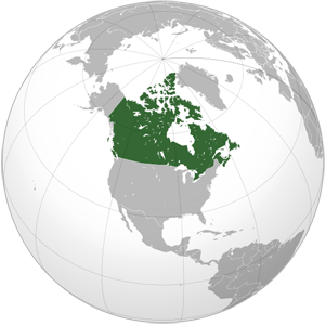
Canada is the second-largest country in world (after Russia).
It is the Northernmost nation on Earth.
Canada is the country with the longest coastline in the world, stretching 202,080 kilometers (125,567 miles).
Canada Video
International Boundary
The border between Canada and the United States of America (49th parallel) is the longest border between two countries in the world.
It is officially known as the International Boundary, an 8,891 kilometers (5,525 miles) international border set without conflict.
USA Canads Border Video
Animals/Insects
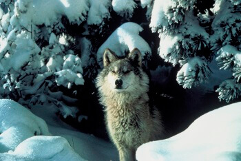
Image courtesy of: USFWS-Pacific Region
Arctic Hare
Learn about this a small, fur-covered mammal. Includes an activities and games section.
Great Lakes boreal wolf is a (interbreeding) between North American gray wolves and eastern wolves. They are found in the Great Lake States of Michigan, Minnesota, and Wisconsin, as well as in northwestern and northeastern Ontario. Wolves in northwestern Ontario tend to be more mixed with Gray Wolves and those in northeastern Ontario tend to be more mixed with Eastern Wolves.
History
Canada's earliest inhabitants arrived via the Alaska-Bering straits route 15,000 years ago. The first Europeans were the Vikings (Leif Ericsson and his crew) who established a short-lived colony L'Anse Aux Meadows in New Foundland. In 1608 a French trading post was established at Quebec by Samuel de Champlain. This was the foundations of what was to become New France. In 1663 New France was organized as a French colony.
The French lost Canada to the British in the French and Indian war which lasted from 1756-63. Canada and the continent east of the Mississippi River ceded to Great Britain's growing empire. In 1867, the Dominion of Canada a self-governing body within the British Empire was established. Under the British North America Act of 1867, Ontario, Quebec, New Brunswick, and Nova Scotia became the first four provinces of the new Dominion of Canada. Sir J.A. Macdonald became Canada's first Prime Minister.


